
Have you ever wonders how we get water in your house. There are so many things happening behind the scenes which bring us the elixir of life. This article explores the Surface water supply in EastBay Area. Hope this information is useful for our users. This is extracted from the book called “Geologic Guidebook of the San Francisco Bay Counties”
East Bay Municipal Utility District System.
The water-supply system of the East Bay Municipal Utility District which serves the many residential and industrial communities lining the east shore of San Francisco and San Pablo Bays from San Lorenzo on the south to Vallejo on the north is the second largest water-supply system in the San Francisco Bay region. As was the case with the City of San Francisco the system was built up and operated for many years under private ownership. The shift to municipal ownership came when the exhaustion of nearby supplies forced the importation of a large supply from a distant source.
The local system in its final form resulted from the amalgamation of a number of small companies. As each of the many small separate communities developed, independent companies were organized to supply the necessary water. For the most part, these secured their supply either by surface diversion from small creeks in the hills or from nearby wells. As the communities grew these local sources became inadequate and the small companies were absorbed by the larger and better-financed ones which were able to supply water through either surface storage or by importation from distant good fields. Finally, the larger ones combined into a single system, the East Bay Water Company. During most of the operation under private ownership, the major sources of supply were well fields extending from the Pinole Creek delta on the north to the Alameda Creek. After the Municipal Utility District acquired the properties and brought in supply from the Mokelumne River, these good fields were abandoned as a source of municipal supply. Private Wells, however, is still operated by some east bay industries.
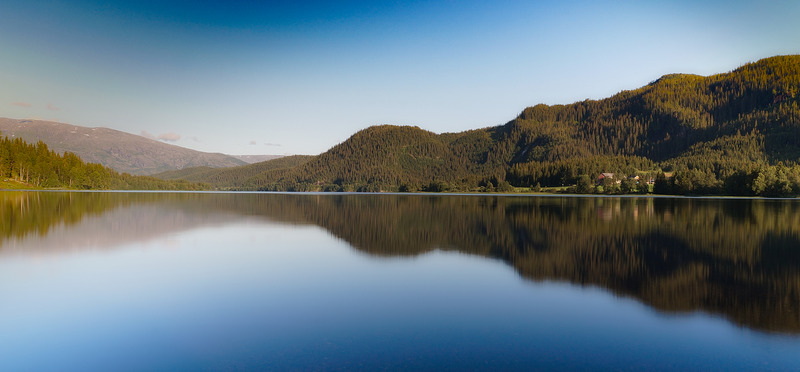
The first surface storage was provided by the construction of the Temescal dam, with a storage capacity of 150 million gallons in 1869. The urban area has spread throughout the drainage basin, this reservoir was abandoned as a source of supply when Mokelumne river water became available and is now a part of the regional park system. The next surface development occurred with the construction in 1892 of the Lower San Leandro dam, storing about 5 billion gallons in Lake Chabot. After this, additional development was confined to good fields until the available underground waters were practically exhausted as a source of additional water supply. The San Pablo Reservoir, storing 14 billion gallons, was built in 1926, with a capacity of 13.5 billion gallons, which was the last development under private management.
In 1918 the surface reservoirs then constructed went dry and it was necessary to prohibit the irrigation of gardens and to restrict domestic use to the barest necessities. This condition continued to a greater or lesser degree until the completion of the San Pablo Reservoir in 1920. Spurred on by this catastrophe the people of the east bay communities organized the East Bay Municipal Utility District in 1923 for the purpose of developing an adequate water supply. Many different sources of supply, including the possibility of joining with the city of San Francisco in the Tuolumne River project, were investigated. However, an independent supply from the Mokelumne River was finally chosen. Construction of Pardee dam, storing 72 billion gallons, and of the aqueduct to the bay were started at once and, impelled by fear of a second drought, carried on at maximum speed. In 1928 the reservoirs and distributing system of the private company were acquired and in June 1929 water was delivered to San Pablo reservoir just in time to avert another water shortage, for less than a 2-month supply remained in the local reservoirs at that time.
The present safe yield of the East Bay Municipal Utility District system is estimated to be about 216 million gallons per day, of which 200 million gallons per day comes from the Mokelumne River. Present consumption is slightly over 100 million gallons per day or about half the present safe yield.
Contra Costa Canal System.
Another large system serving the San Francisco Bay region is the Contra Costa Canal, one of the units of the Central Valley Project, constructed by the United States Bureau of reclamation. This system serves the agricultural and industrial areas along the south shore of Suisun Bay and the Carquinez Straits in Contra Costa County, from Martinez to Antioch. It was not the result of gradual growth but came into being full size.
The early municipal and industrial developments in this area procured their water supply for the most part by pumping from the Sacramento and San Joaquin Rivers near their entrance to Suisun Bay. However, as upstream developments in the Sacramento and San Joaquin Valleys diverted more and more water from these rivers for irrigation and other uses, the quality of the water in their lower reaches progressively deteriorated. Eventually, the summer flows became so low that saltwater intruded from the bay up to and past the intakes of the pumping plants, and a diversion was only possible during periods of high flows. Resort was had to wells but the well waters were found to be limited in amount and of poor quality. The solution to this problem was one of those undertaken by the state in 1921 when it started the investigations which led to the adoption of the Central Valley Project by the people of the state in 1933. Under this project flood waters stored in the Shasta reservoir are to be released in sufficient amount to maintain water of good quality in the delta and also to provide additional freshwater for export from the delta to places of need. The project includes four pumping plants that lift the water from rock slough and a canal leading along the North Shore of Contra Costa County from Rock Slough to a terminal reservoir near Martinez. The pumping plants and first sections of the canal were completed before World War II and served water during that period. The remainder of the canal has now been completed and is serving water as far as Martinez. As constructed the canal has an intake capacity of 350 second feet at the pumps, which is gradually reduced to a capacity of 22 second feet at the terminal reservoir.
Should a consolidation of the City of San Francisco, East Bay Municipal Utility District, and Contra Costa canal systems into one large metropolitan supply ever become desirable, it would be a relatively simple problem. Only about 10 miles separate the Hetch Hetchy aqueduct of the City of San Francisco and the southern end of the East Bay Municipal Utility District system. In fact, a connection between the two systems was made in 1933 when, prior to the introduction of Tuolumne River Water, the City of San Francisco system was suffering from drought water to the City of San Francisco. The Mokelumne River aqueduct parallels the Contra Costa canal for several miles and could either deliver water to the canal or receive water pumped from it if desired.
In Hayward we have a reputation as affordable tree service. Please call us for a free quote (510) 250-5158
Learn more about surface water supply in Eastbay here
Continue reading about “Water for your plants“